

Making an offer
Before writing an offer, one evening on two or three official, free websites can save you from big surprises.
Géorisques (georisques.gouv.fr)
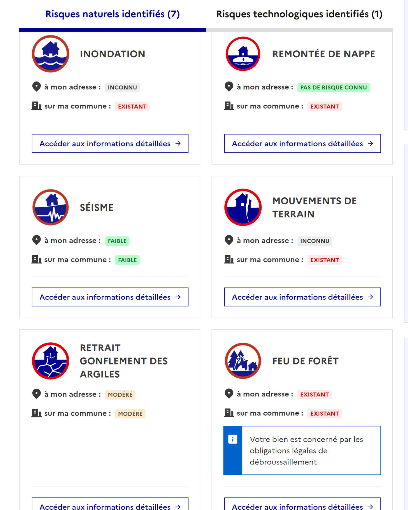
Type the address of the house and the site lists every known risk: floods (inondation), clay shrink-swell (retrait-gonflement des argiles, a classic source of wall cracks), seismic zone, radon, industrial sites around, polluted soils. You also get the commune’s history of natural disaster decrees (arrêtés de catastrophe naturelle): if the village flooded three times in ten years, you will see it here. The seller has to provide a risk report (état des risques) anyway, but checking yourself before the offer is free and instant.
The cadastre (cadastre.gouv.fr)
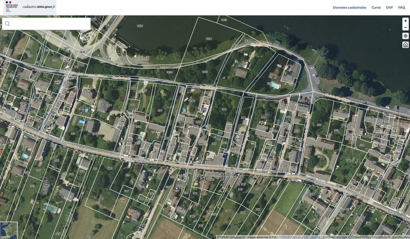
The official parcel map. You can see the exact parcel(s) you are buying, their boundaries and surface. Compare the map with reality (satellite view, what you saw during the visit): a building that exists in real life but not on the map may be an undeclared construction, like an extension. Given our crack story, we are well placed to say this step is worth it.
To know whether the neighbors can build: the PLU
The cadastre shows parcels, not what can be built on them. That is the local urban plan (plan local d’urbanisme, PLU), free to check on geoportail-urbanisme.gouv.fr or at the town hall (mairie). U zones are buildable, AU zones are “to be urbanized” (the field next door can become a housing development), A zones (agricultural) and N zones (natural) are in principle protected. If the big field behind the house is in an AU zone, your view and the value of your house may take a hit in a few years.
📷 Screenshot here: PLU zoning map on the Géoportail de l’urbanisme
Leave a Reply